
Welcome to West LA Sawtelle Neighborhood Council

Our organization is a branch of city government whose mission is to provide representation and advocacy for the diverse interests of all stakeholders within the West LA Sawtelle neighborhood boundaries.

FAQ
-
Neighborhood Councils are the closest level of government to the community. They serve as advisory bodies, representing local interests and advocating with City Hall on important issues such as development, homelessness, and emergency preparedness. The Neighborhood Council system was established in 1999 to give residents a stronger voice in shaping the future of their neighborhoods.
-
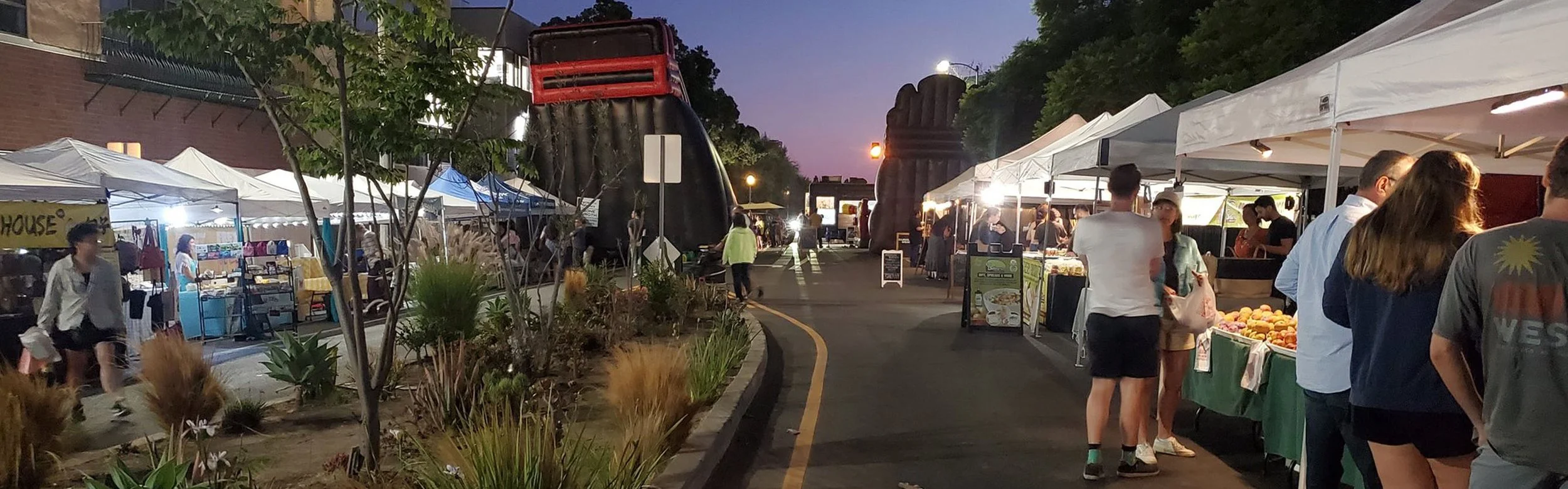
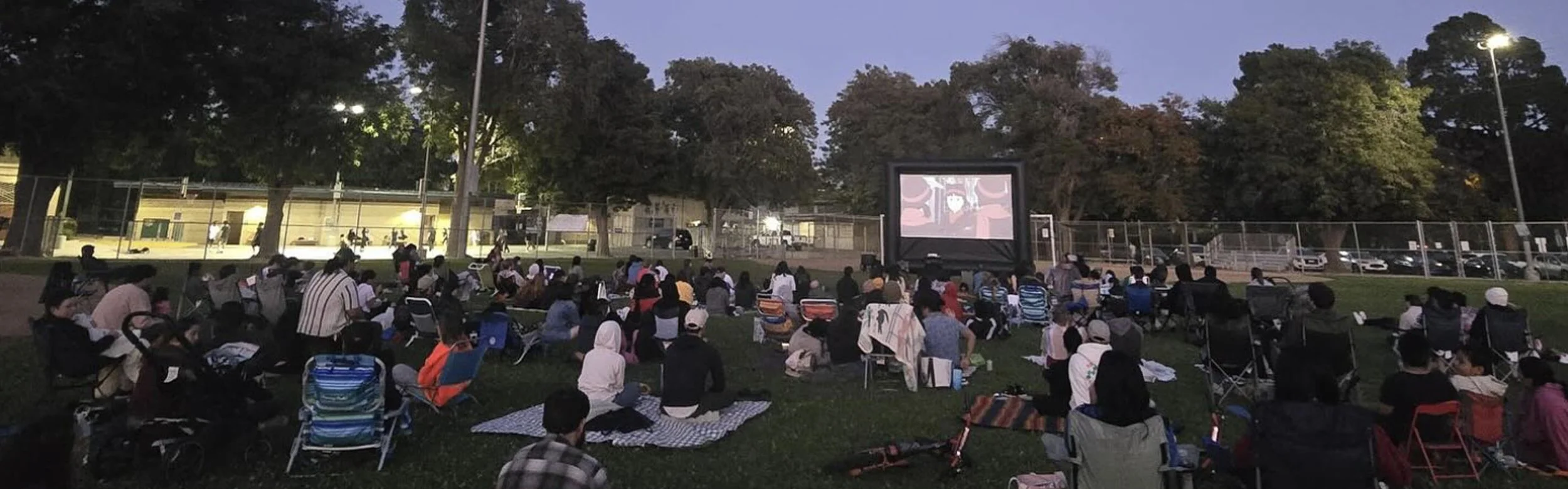
A stakeholder is anyone who lives, works, or owns property in the Sawtelle neighborhood. This includes residents, business owners, schools, houses of worship, and community or civic service organizations.
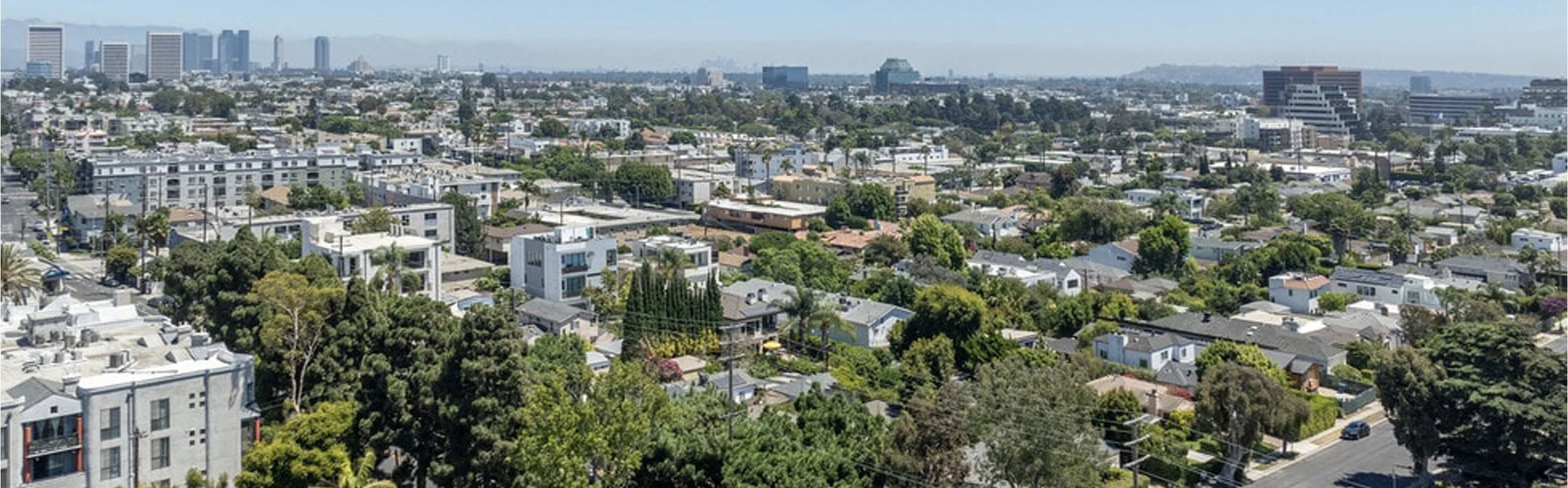
The boundaries of the West Los Angeles-Sawtelle Neighborhood Council are Wilshire Boulevard to the north, the 10 Freeway to the south, the 405 Freeway to the east, and Centinela Avenue to the west.
-
The WLASNC Board of Directors meets monthly on the fourth Wednesday at 7:00 p.m. We also hold various committee meetings throughout the month. For the latest meeting dates, times, locations, and agendas, please check our calendar.
-
Neighborhood Councils are overseen by the Department of Neighborhood Empowerment (DONE), the City of Los Angeles agency that supports and guides all Neighborhood Councils. For more information, visit www.empowerla.com.
-
Neighborhood Council members are elected city officials, but they serve as volunteers and donate their time to support the community.
-
As an elected body of local government, the Neighborhood Council must follow The Brown Act, a state law that ensures all meetings are publicly noticed and open to the community. This includes publishing agendas and minutes, and requiring a quorum (51% of committee members) to take official action.
We also follow Robert’s Rules of Order, a traditional set of procedures for proposing and approving motions and resolutions. These rules ensure that both the public and council members have time to speak and provide input. While they may seem formal, they are essential for giving the community a voice before any official decisions are made.
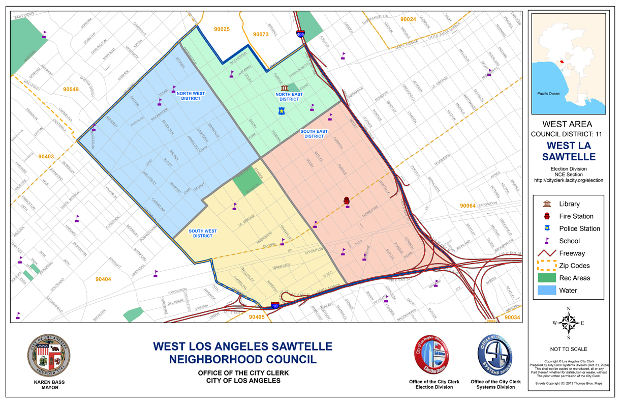
Boundaries Map
Wilshire Boulevard to the North
The 10 freeway to the South
The 405 freeway to the East
The City of Santa Monica/Centinela Avenue to the West
The boundaries do not include any and all federal Veterans’ Administration property